
Gepokan:Caucasus topo map-blank.svg

Ukuran ni terawangan PNG deri ni berekas SVG: 771 × 599 piksel Resolusi laènnya: 309 × 240 piksel | 618 × 480 piksel | 988 × 768 piksel | 1.280 × 995 piksel | 2.560 × 1.990 piksel | 1.155 × 898 piksel.
Gepokan asli (Gepokan SVG, secara angka 1.155 × 898 piksel, ukuran gepokan: 4,43 MB)
Rangkuman:
| Jabaran |
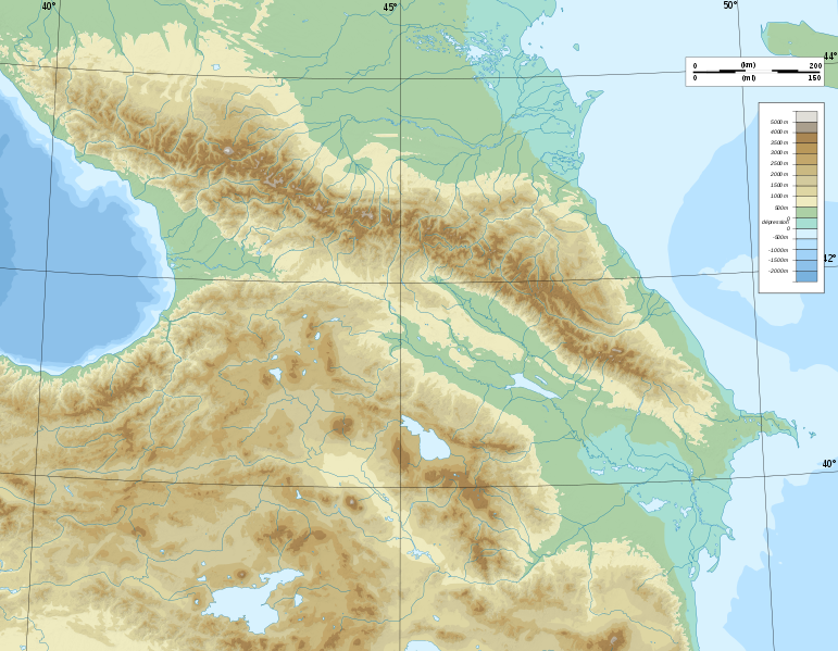
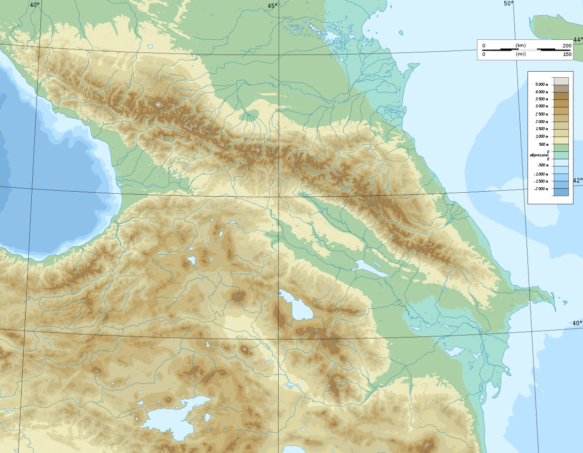
Deutsch: Topographische Karte von Kaukasien, französische Version English: Topographic map in French of Caucasus Français : Carte topographique en français du Caucase |
| Tanggal | |
| Sumber |
English: Own work ; Topographic data from the NASA Shuttle Radar Topography Mission (SRTM3 v.2) (public domain) edited with 3DEM, reprojected in UTM with GDAL (GDAL), and vectorized with Inkscape ; UTM projection ; WGS84 datum ; shaded relief (composite image of N-W, W and N lightning positions) ; Reference used for the additional data : * Rivers, bathymetry : Demis add-on for World Wind (see the approval e-mail and the Demis forum) ; * coast : World data bank II ; Approximate scale of topographic data : 1:1,463,000 ; Note : The shaded relief is a raster image embedded in the SVG file. Français : Création personnelle ; Données topographiques de la NASA Shuttle Radar Topography Mission (SRTM3 v.2) (domaine public) éditées avec 3DEM, reprojetées en UTM avec GDAL et vectorisées avec Inkscape ; projection UTM ; WGS84 datum ; relief ombré (image composite d'éclairages du N-O, O et N) ; Références utilisées pour les données complémentaires : * Rivières, bathymétrie : Demis add-on for World Wind (cf. l'e-mail d'approbation de Demis et le Demis forum) ; * côtes : World data bank II ; Échelle approximative des données topographiques : 1:1 463 000 ; Note : Le relief ombré est une image bitmap embarquée dans le fichier SVG. Approximate geographic limits of the map (3' close) : * SW corner : 38°05'00"N – 39°33'00"E * SE corner : 38°05'00"N – 51°00'00"E * NE corner : 45°00'00"N – 51°00'00"E * NW corner : 45°00'00"N – 39°00'00"E |
| Mualip | Bourrichon - fr:Bourrichon) |
| Ijin (Maké lagi ni gepokan) |
GFDL / Attribution and Share-Alike required |
| Pèrsi laènnya |
|


|
This SVG file contains embedded text that can be translated into your language, using any capable SVG editor, text editor or the SVG Translate tool. For more information see: About translating SVG files. |
Ongji
Saya, pemilik hak cipta dari karya ini, dengan ini menerbitkan berkas ini di bawah ketentuan berikut:

|
Ijin diangsrongin bakal njiplak, mbagi-bagiin, èn/atawa ndandanin ni warkat di bawah sarat-sarat Ongji Pengwarkatan Perdèo GNU, Pèrsi 1.2 atawa pèrsi nyang lebi baruan nyang diterebitin ama Free Software Foundation; sonder Bagèan Ajeg, sonder Tèks Sampul Depan, èn sonder Tèks Sampul Belakang. Jiplakan ongji udah kemasupan di dalem bagèan nyang judulnya Ongji Pengwarkatan Perdèo GNU. |
This file is licensed under the Creative Commons Attribution-Share Alike Attribution-Share Alike 4.0 International, 3.0 Unported, 2.5 Generic, 2.0 Generic and 1.0 Generic license.
- Lu bolé:
- bebagi – njiplak, ngebagi-bagiin, èn mindahin ni gawéan
- nggubah – ngolah ni gawéan
- Berales ni ketentuan:
- nisbat – Lu misti nyantumin nisbatan nyang surup, nyediain sènggètan ke ongji, èn ngasi tau kalo misal ada perobahan. Lu bolé ngelakoninnya lu punya suka, cuman jangan ngaèt-ngaètin kalo tukang ongjinya ndukung lu atawa lu punya pemakéan.
- bebagi setumbras – Kalo lu nggubah, ngubah, atawa mbuat turunannya ni bahan, lu misti bagi-bagiin lu punya sumbangan di bawah ongji nyang sama atawa pas kaya' ongji bahan asli.
Lu bolé pili ongji lu punya pili
Riwayat gepokan
Klik di tangga/waktu bakal ndeleng berekas sepagémana nongol tu waktu.
| Tanggal/Waktu | Longokan | Delokan | Pemaké | Sautan | |
|---|---|---|---|---|---|
| nyang paling baru | 10 Nopèmber 2008 00.16 | | 1.155 × 898 (4,43 MB) | Bourrichon | |
| 8 Nopèmber 2008 22.59 |  | 1.155 × 898 (4,43 MB) | Bourrichon | == Summary == {{Information |Description={{de|Topographische Karte von Kaukasien, französische Version}}{{en|Topographic map in French of Caucasus}}{{fr|Carte topographique en français du Caucase}} |Sou |
Pemakéan gepokan
Ni halaman maké ni berekas:
Pemakéan gepokan kabèhan
Ni laèn wiki maké ni berekas:
- Pemakéan di ar.wikipedia.org
- Pemakéan di ast.wikipedia.org
- Pemakéan di av.wikipedia.org
- Pemakéan di az.wikipedia.org
- Azərbaycan dili
- Muğan düzü
- Araz
- Böyük Qafqaz
- Kür
- Göygöl (göl)
- Bazardüzü
- Şablon:Çay
- Ağrı dağı
- Qarayazı Dövlət Təbiət Qoruğu
- Göygöl Dövlət Təbiət Qoruğu
- İlisu Dövlət Təbiət Qoruğu
- Mingəçevir su anbarı
- Hacıqabul gölü
- Türyançay Dövlət Təbiət Qoruğu
- Talış dağları
- Kürəkçay
- Qabırrıçay
- Qanıxçay
- Sumqayıtçay
- İlandağ
- Göyçə gölü
- Göyəzən dağı
- Şablon:Yer xəritəsi
- Şablon:Yer xəritəsi/doc
- Şablon:Yer xəritəsi+
- Xınalıq dağı
- Qafqaz dağları
- Murovdağ
- Kəpəz dağı
- Sarısu gölü
- Böyükşor gölü
- Maralgöl
- Şablon:Su anbarı
- Şablon:Su anbarı/doc
- Candargöl
- Kazbek dağı
- Şirvan düzü
- Mil düzü
- Batabat gölü
- Beşbarmaq dağı
- Babazənən yüksəkliyi
Deleng lebi banyak pemakéan global deri ni berekas.